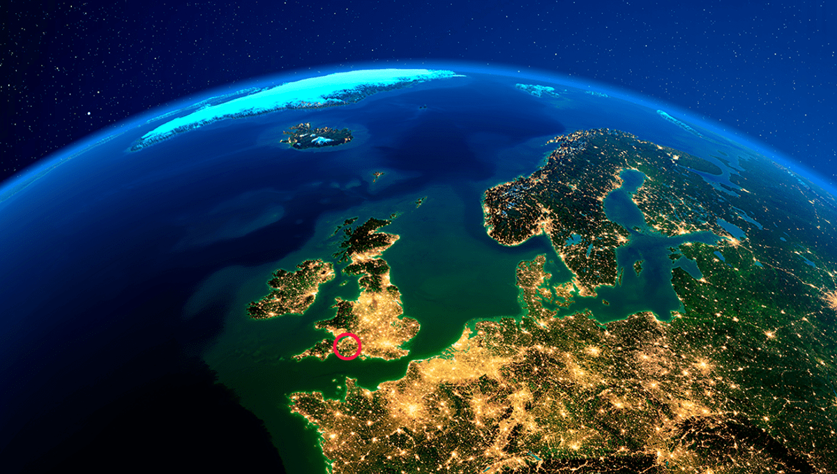
For the first time in British mapping history, the three norths have met at a single place on land. According to the Ordnance Survey of the UK, the convergence will continue for several years, making its way north (we’ll get to that bit) traveling from Langton Matravers, near Swanage in Dorset, before leaving the UK landmass via Scotland.
Directing people “north”, it turns out, is incredibly vague. There are in fact three norths they could choose from: true, grid, and magnetic. True north is the direction along the surface of the Earth that ends at the geographic (or true) North Pole. The geographic North Pole is not the same as the magnetic North Pole – the point where the planet’s magnetic field points vertically downward, and that your compass arrow is drawn towards. Though they are near each other, magnetic north moves around at around 50 kilometers (30 miles) a year, at its current rate.
So, that’s two norths, but there is also a third and slightly more complicated north, created by trying to represent a three-dimensional globe on a two-dimensional map: grid north.
The map you are likely familiar with is one based on the Mercator projection, created by cartographer Gerardus Mercator in 1569. It’s a cylindrical map projection, in which you place the globe into a cylinder and then project each point of the map onto a corresponding point on the cylinder. Meridians (imaginary vertical lines going through the Earth from the North to South Pole) are mapped onto vertical lines equally spaced apart on the map, and circles of latitude (imaginary horizontal lines from East to West) are mapped onto equally spaced horizontal lines.
The Mercator projection is good for navigation because it represents courses of constant bearing as straight segments, meaning ships have to course correct for the curvature of the Earth less frequently. However, it also results in distortions of size and shape.
“On a map projection like the transverse Mercator projection used for the British National Grid, the longitude lines curve away from the straight grid lines,” ordinance survey explained in a blog post.
“The amount of curvature varies across the grid area, except at one line. A transverse Mercator projection has a ‘central meridian’ line where a chosen longitude aligns with a vertical eastings grid line. For the National Grid this central meridian line is 2°W or 400,000m E.”
Now, as magnetic north continues to shift, it has approached this line, and for a brief few years, there will be an alignment of all three norths over Britain.
“Due to the magnetic north direction being skewed relative to the central meridian and the fact that it is moving,” they add, “the triple alignment point will move up the central meridian.”
The convergence point is currently in Langton Matravers, just west of Swanage in southwest England, and will move its way to Poole by Christmas. Before disappearing into the sea shortly after July 2026, the convergence point will travel through Drums and Fraserburgh in Scotland.
Source Link: For A Short Time Only, The Three Norths Will Align At One Point In The UK