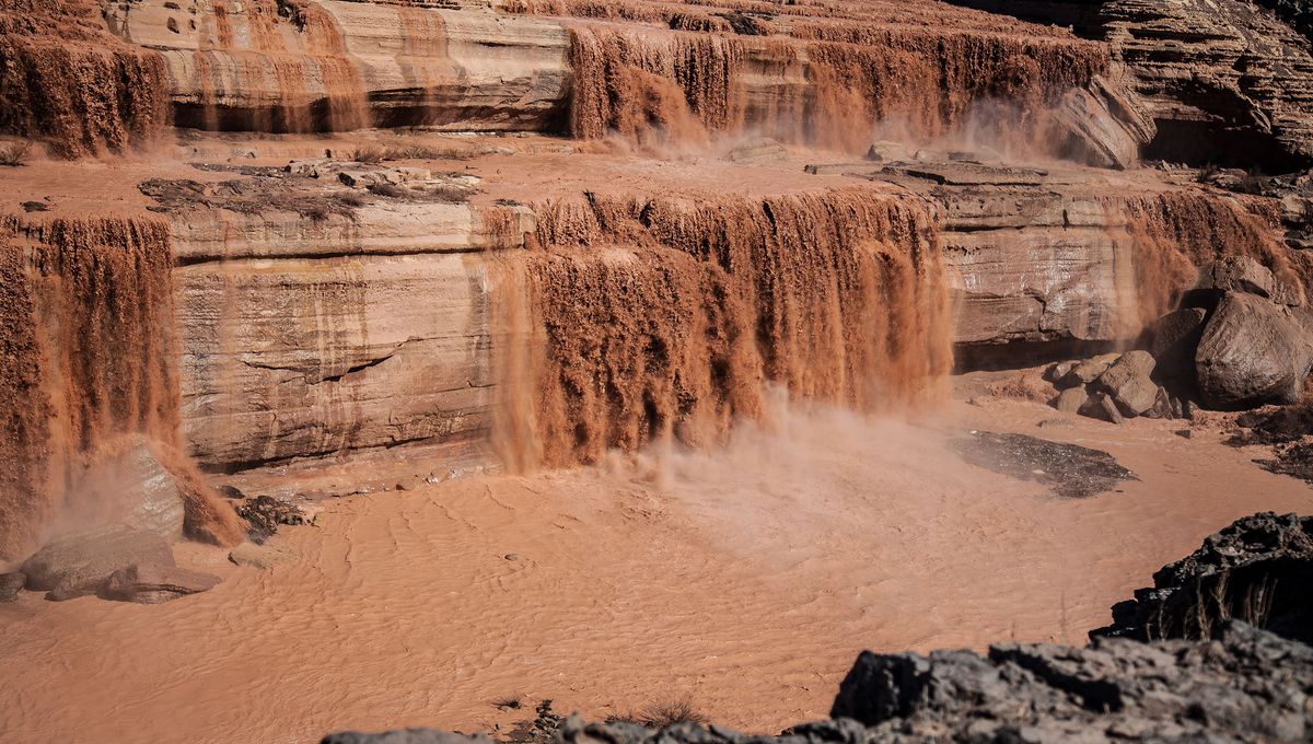
Along the Little Colorado River, in the Navajo Nation of Arizona, sits an enormous waterfall that appears to be churning out pure chocolate. Looking like a scene straight out of Willy Wonka’s factory, the Grand Falls, also known as the Chocolate Falls, is a disappointingly inedible 57-meter (187-foot) tall wall of water that appears following spring snowmelt and monsoon rains.
Having formed during the late Pleistocene era, a volcanic eruption at the Merriam Crater caused a lava flow that diverted the course of the Little Colorado River, the natural dyke created by the lava formed what is now the Grand Falls.
Fed by waters from 225 kilometers (140 miles) southeast in Mount Baldy, the state’s second highest mountain, the waters’ journey down the Little Colorado River creates a heavy silt build-up which gives the Chocolate Falls their striking and delicious-looking appearance.
The falls, however, are not visible year-round and instead spend much of their time as a slow drizzle. They’re best viewed in all their glory in spring, between March and April, when the water levels are fed with snowmelt from the White Mountains.
They can also be seen when monsoon season hits northern Arizona between late June through to September. Heavy rains, storms, and flash floods brought about by the season can cause large volumes of water to pass through the falls, but water levels are less reliable.
Once the water has passed through the Grand Falls, it carries on its journey 544 kilometers (338 miles) northwest to the Colorado River at the Grand Canyon. By this point in its adventure, the once muddy water has had all the silt filtered out and the remaining minerals transform the water’s color into a pale turquoise.
If you plan to visit the Chocolate Falls, it’s recommended to go when the water level gauge reading is above 200 per cubit feet. The reading can be checked ahead of time on the United States Geological Survey (USGS) website.
Source Link: How And When To See Arizona’s Famous “Chocolate Falls”