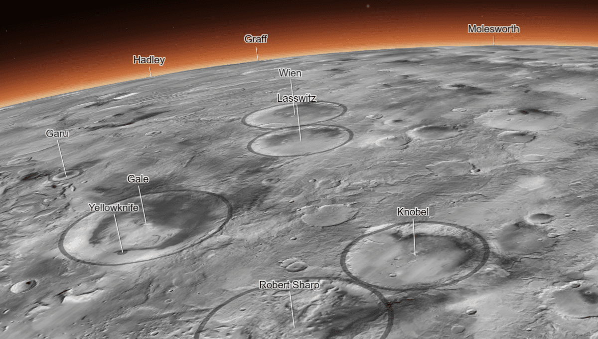
If you have ever wanted to travel to Mars and fly over its dunes, volcanoes, and chasms, today is your lucky day. Caltech’s Bruce Murray Laboratory for Planetary Visualization has released the closest thing to being physically above the Red Planet. They have published the highest-resolution global image of the Mars ever created.
The interactive globe was created using 110,000 images from NASA’s Mars Reconnaissance Orbiter’s black-and-white Context Camera (CTX). Each pixel corresponds to an area on Mars that is 25 square meters (or about 270 square feet). In total, it has 5.7 trillion pixels and it took six years to complete.
“I wanted something that would be accessible to everyone,” Jay Dickson, the image processing scientist who led the project and manages the Murray Lab, said in a statement. “Schoolchildren can use this now. My mother, who just turned 78, can use this now. The goal is to lower the barriers for people who are interested in exploring Mars.”
It is truly an exceptional way to see Mars. For example, by navigating to Gale Crater you can see the path that NASA’s Curiosity has taken in its climb of Mount Sharp, and you can see the carved valley ahead. The rover is yet to study it, but it has spotted the debris that has flowed down due to water and landslides.
Mars Reconnaissance Orbiter has been studying the Red Planet since 2006 and CTX, together with the High-Resolution Imaging Science Experiment (HiRISE) and Mars Color Imager, have provided incredible insights on the surface of the planet.
“For 17 years, MRO has been revealing Mars to us as no one had seen it before,” added the mission’s project scientist, Rich Zurek of JPL. “This mosaic is a wonderful new way to explore some of the imagery that we’ve collected.”
Dickson created an algorithm to stitch the images based on the feature they capture, but 13,000 images still had to be manually stitched together as the algorithm couldn’t match them. The parts that are missing are either yet to be imaged or were obscured by clouds or dust.
“I’ve wanted something like this for a long time,” said Laura Kerber, a Mars scientist at JPL who provided feedback on the new mosaic as it took shape. “It’s both a beautiful product of art and also useful for science.”
Since the beta was released over 120 papers have used it, and many more will do so in the future.
Source Link: Incredible High-Res Interactive Map Shows Mars As You've Never Seen It Before