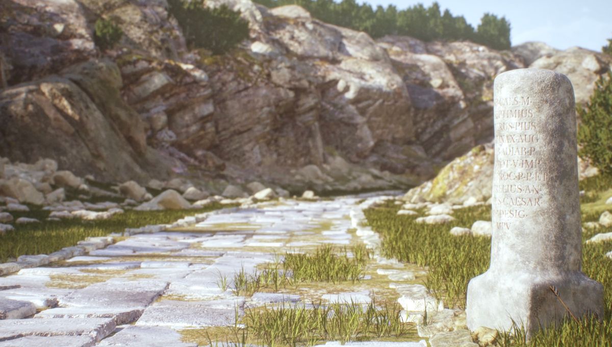
A new digital map of the road network that once connected the Roman Empire has been created, revealing a staggeringly vast constellation of interlocking routes. Named Itiner-e, the new digital map includes 299,171 kilometers (186,000 miles) of ancient roads spanning from the British Isles to the Middle East.
Famous for their straight roads, the Romans are known to have relied upon their transport infrastructure to maintain and expand their imperial control, while also allowing the movement of people and goods. However, until now, this extensive system of highways had remained poorly mapped.
The Barrington Atlas of the Greek and Roman World, for example, has remained the most complete ancient roadmap since it was published 25 years ago, yet its resolution is poor, with a scale of one to one million in certain parts. The researchers behind Itiner-e therefore set out to improve upon this, providing a far more detailed and reliable Roman road atlas – and you can view it online here.
No one excavates roads.
Dr Tom Brughmans
“We were essentially playing a continental scale game of connecting the dots,” explains study author Dr Tom Brughmans from Aarhus University. “Archaeologists tend to excavate point locations, so when they find a milestone or an ancient city, they excavate around it – but no one excavates roads,” he told IFLScience.
Describing their new digital resource in a new study, the authors explain that it was “created by identifying roads from archaeological and historical sources, locating them using modern and historical topographic maps and remote sensing, and digitising them.” In doing so, they were able to considerably increase the known road coverage in regions such as the Iberian peninsula, Greece, and North Africa.
Furthermore, despite the Romans’ propensity for straightness, Itiner-e overcomes some of the limitations of the Barrington Atlas by adapting routes to actual geographical contours, so that roads through mountainous areas follow winding paths rather than straight lines. As a result, the total length of road included in the new map is around 110,000 kilometers (68,350 miles) greater than previous estimates had suggested.
“It was a complete surprise that our map added [over] 100,000 kilometers of roads,” say Brughmans. “That’s more than three times around the world. It’s insane.”
This extensive network represents the state of Roman transport links at the height of the empire’s power, around 150 CE. According to the authors, the digital map “includes any terrestrial route with an evidenced, conjectured, or hypothesised location.”
They go on to explain that 34.58 percent of these trackways – totalling 103,478 kilometers (64,300 miles) – are classed as main roads, which played a vital role in Roman conquest and administration. The remaining 195,693 kilometers (121,600 miles) consists of secondary roads, and provide a snapshot of local mobility patterns in the Roman Empire.
Our major finding that only 3 percent of the location of all roads of the Roman Empire is known precisely is really a call to action.
Dr Tom Brughmans
“What I find really exciting is that this new data set will revolutionize the way in which we study ancient pandemics, mass migrations and the development of ancient religions,” says Brughmans. “[The Roman Empire] is a place where early Christianity emerged and developed, and spread over the roads, in part,” he explains.
“The Antonine plague in the second century started in the Middle East and was spread by Roman soldiers, in part, moving over land, and so the roads are super crucial to understand the potential for this disease to infect major population centers,” Brughmans continues.
However, while all of the roads included in the map are known to have been used by Roman subjects, the precise location of each route is not entirely certain. According to the researchers, only 2.7 precent of these roads are considered to be drawn in their exact position, while 89.8 percent are less precisely known and 7.4 percent are hypothesized.
Brughmans therefore suggests that Itiner-e could be used to guide other archaeologists by showing them where to excavate in order to discover the exact location of many of these roads. “Our major finding that only 3 percent of the location of all roads of the Roman Empire is known precisely is really a call to action, and provides a roadmap for future research into Roman roads,” he says.
The study is published in the journal Scientific Data.
Source Link: Incredible New Roman Empire Map Shows 300,000 Kilometers Of Roads, Equivalent To 7 Times Around The World