El Niño is officially over – and while we are currently in ENSO-neutral conditions, according to the National Oceanic and Atmospheric Administration’s (NOAA) Climate Prediction Center, La Niña is expected to return this summer, possibly as early as July. This new phase is forecast to persist through the Northern Hemisphere winter and ties in with Atlantic hurricane season – so, what does it mean for such extreme storms?
“After a year of dominance, El Niño released its hold on the tropical Pacific in May 2024,” reads NOAA’s latest update for June 2024. “The tropical Pacific’s climate pendulum appears to be swinging back toward its other extreme: La Niña.”
La Niña, and its counterpart El Niño, are the extreme phases of the El Niño-Southern Oscillation (ENSO) cycle – a recurring climate pattern that describes how changes in the water temperature in the Pacific Ocean have a global impact on the world. Everything from wind, temperature, and rainfall patterns to the intensity of – you guessed it – hurricane seasons are affected. Even the distribution of fish in the seas can be influenced by the cycle.
Around every three to seven years, the surface waters across a large swath of the tropical Pacific warm or cool by 1 to 3°C (1.8 to 5.4°F) compared to normal. La Niña is often called the “cold phase” of the ENSO, when the ocean surface temperature drops in the central and eastern tropical Pacific Ocean. During El Niño, on the other hand, surface temperature rises.
We’ve known La Niña was on her way for a while – forecasters originally predicted her return between June and August, but revised this as the rate of cooling slowed. According to the latest forecast from NOAA’s Climate Prediction Center, ENSO-neutral conditions returned during the past month. However, they’re not set to last and there’s a 65 percent chance La Niña will develop in July-September 2024 and an 85 percent chance it will persist during November-January.
This timing means it will likely coincide with – and possibly intensify – the peak of the Atlantic hurricane season (expected between mid-August and mid-October).
NOAA has already predicted an “extraordinary” season, thanks in part to La Niña. Per their estimates, there’s an 85 percent chance of an above-normal season, a 10 percent chance of a near-normal season, and just a 5 percent chance of a below-normal season.
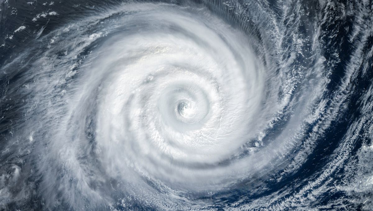
Between eight and 13 storms are forecast to become hurricanes, with wind speeds of 119 kilometers (74 miles) per hour or higher, and four to seven major hurricanes with winds of 178 kilometers (111 miles) per hour or higher are also anticipated. The forecasters have a 70 percent confidence in these ranges.
You might be wondering how a dip in ocean surface temp could impact the swirling winds of a hurricane. It is primarily down to vertical wind shear – the change in wind speed and direction from near the surface to high up in the atmosphere. Over the Atlantic, La Niña reduces vertical wind shear, which enhances hurricane activity. It also decreases the amount of sinking motion and atmospheric stability, which contribute.
In the central and eastern Pacific, meanwhile, La Niña suppresses hurricane activity.
With this year’s Atlantic hurricane season already underway, and La Niña looming, 2024 could be set to see some intense storms.
Source Link: La Niña Forecast To Return This Summer – What Does That Mean For Hurricane Season?