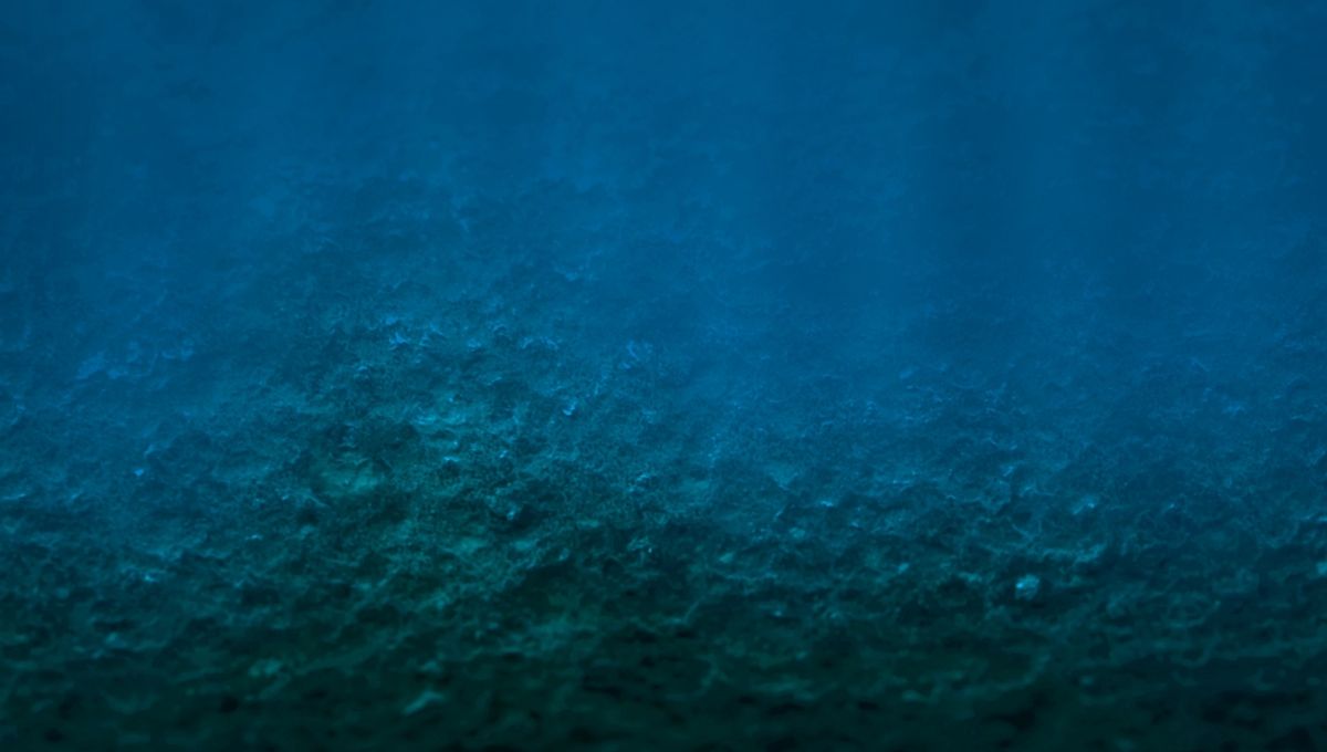
Off the coast of Central California there is a huge field of strange circular structures lining the ocean floor, created in prehistoric times and still visible today.
Known as the Sur Pockmark Field, the Los Angeles-sized area is host to more than 5,200 circular depressions, each around 200 meters (656 feet) across and five meters (16 feet) deep. Similar pockmarks have been found around the world, and are thought to be formed and subsequently maintained by methane gas, bubbling its way up through the sediment at the bottom of the ocean.
That was of concern for potential developers looking to place an offshore wind farm in the area, with worries that methane could affect the seafloor’s stability. But taking a closer look at the Sur Pockmark Field, a team of researchers from Monterey Bay Aquarium Research Institute (MBARI), the United States Geological Survey (USGS), and Stanford University found something odder; there was no evidence of methane at the site at all.
“There are many unanswered questions about the seafloor and its processes,” MBARI Senior Research Technician Eve Lundsten, who led this work, said in a statement. “This research provides important data about the seafloor for resource managers and others considering potential offshore sites for underwater infrastructure to guide their decision-making.”
The team used underwater drones to map over 300 of the pockmarks, which are five meters deep on average, but can reach up to ten times that depth. As well as this, they took over 500 sediment samples found in and around 5 of the pockmarks, none of which were found to contain any methane.
So, what is causing these unusual prehistoric formations? According to the team, the marks are the result of sediment gravity flows.
“The subsurface profiles and sediment samples indicated that the pockmarks contain layers of fine sediment deposited slowly over time alternating with sandy layers deposited by large sediment flows. These flows appear to erode the pockmark centers, and leave behind regionally continuous sandy deposits (turbidites). Some sediment flows have caused sufficient erosion to the pockmarks flanks to simultaneously shift the position of multiple pockmarks, 10s of kilometers apart,” the team explains in their paper.
“Most of the pockmarks are not randomly scattered or clustered on the seafloor but are distributed in a regular, equally spaced pattern. We hypothesize that intermittent, unconfined sediment gravity flows occurring over at least the last 280,000 years are the source of the regionally continuous turbidites and the mechanism that maintained the regularly spaced pockmarks over time.”
While interesting in its own right, the finding is good news for wind farm developers in the area.
“Expanding renewable energy is critical to achieving the dramatic cuts in carbon dioxide emissions needed to prevent further irreversible climate change. However, there are still many unanswered questions about the possible environmental impacts of offshore wind energy development,” MBARI President and CEO Chris Scholin added. “This research is one of many ways that MBARI researchers are answering fundamental questions about our ocean to help inform decisions about how we use marine resources.”
The study is published in the Journal of Geophysical Research Earth Surface.
Source Link: Off The Coast Of California Strange And Regular Circular Structures Line The Ocean Floor