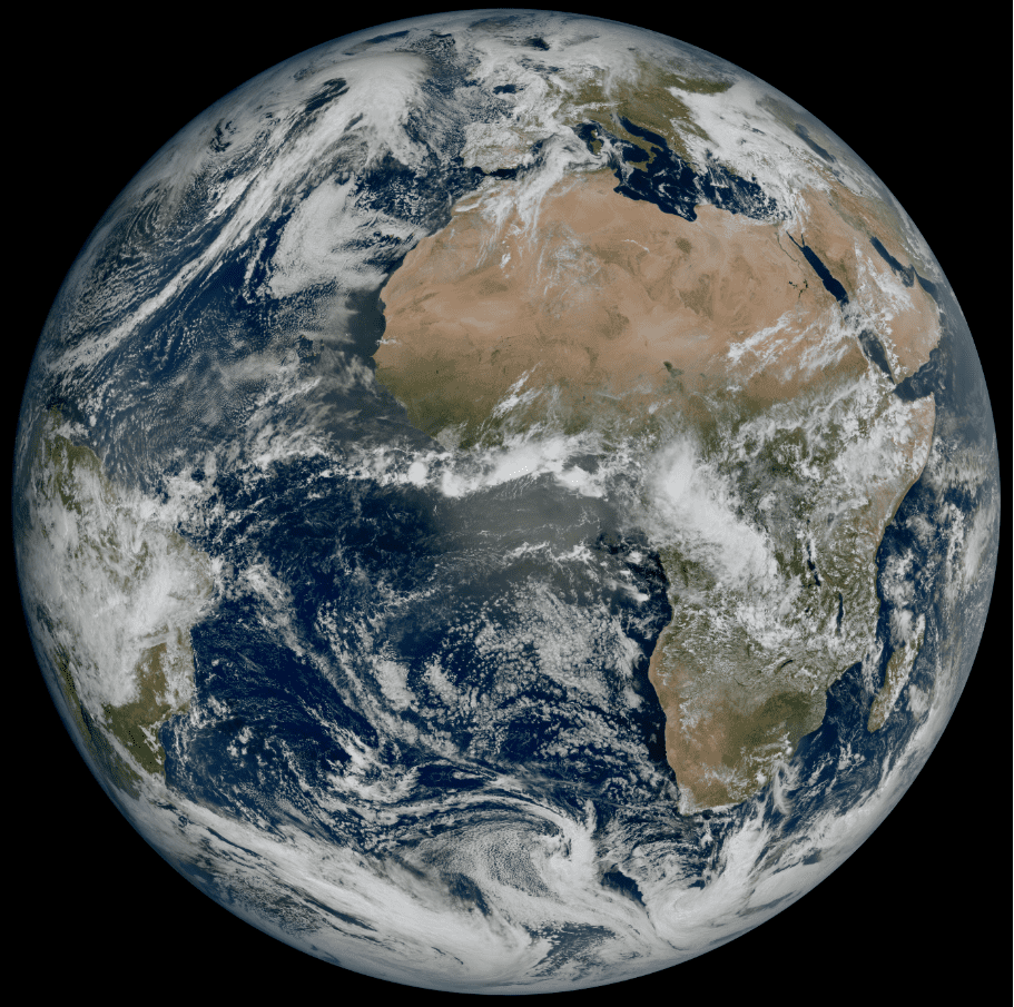
The first images of Earth from a brand new weather satellite have been sent back home and our planet looks spectacular. The new satellite reveals details about the weather over Europe and Africa at a level not possible before at 36,000 kilometers (22,370 miles) away from Earth.
The Meteosat Third Generation Imager-1 (MTG-I1) is a new generation of satellites hoping to change weather forecasting across Europe. Images can be produced with a much higher resolution and more frequently than those of the previous generation. More details can be seen in the cloud structure allowing more accurate monitoring and weather forecasting.
Earth has never looked so good. You can view it in all its glory below.

Our pale blue dot is looking pretty good. Image credit: EUMETSAT/ESA
The level of detail means forecasters will be able to detect and predict sever weather conditions faster and more accurately.
Source Link: Spectacular First Images Of Earth Captured By New Weather Satellite