


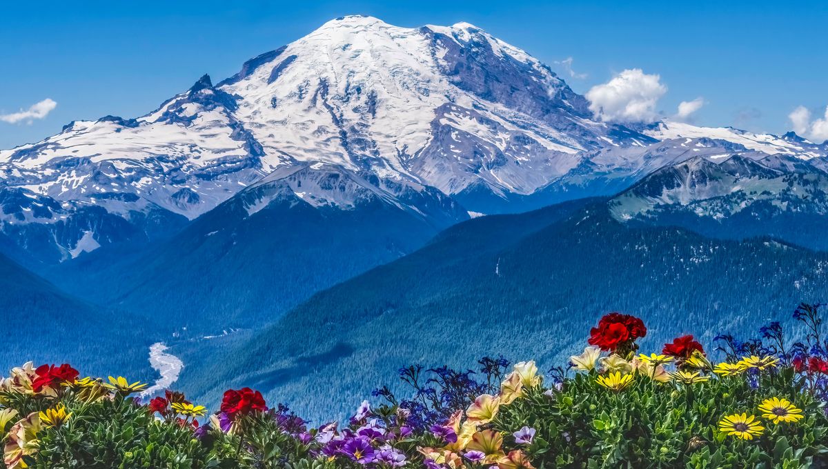
Mount Rainier is an icon of the Washington state landscape. An active volcano, the mountain attracts visitors every year who want to climb its peak or explore the lush forests and wildflower meadows surrounding it. However, the journey to the top of this mountain may be getting easier – the mountain is shrinking, an unofficial measurement has indicated.
Since the mid-19th century, various surveys have measured Mount Rainier with increasingly accurate techniques. The earliest measurements relied on barometers that were brought to the summit, but this was largely inaccurate. In the summers of 1914 and 1956, the United States Geological Surgery (USGS) used the triangulation method – which relies on angles and trigonometry and is significantly more accurate – to measure the peak.
The 1956 measurement set the elevation of the mountain’s highest point, the Columbia Crest, at 4,392 meters (14,410 feet) high. This measurement has remained the standard recognized today. In 1998, surveyors from the Land Surveyors Association of Washington (LSAW) performed GPS (Global Positioning System) measurements of the mountain, which is even more accurate, and found the peak to be 4,392 meters (14,411 feet) high.
However, according to Eric Gilbertson, a teaching professor in mechanical engineering at Seattle University, the mountain is now shorter as its summit point has shifted. This loss of size is likely due to melting ice.
“Until recently,” Gilbertson wrote in a blog post, Mount Rainier “was one of the few peaks in the contiguous US with a permanent icecap on the summit (the others are Eldorado, Colfax, and Liberty Cap, a subpeak of Rainier, all in WA).”
In September 2024, Gilbertson scaled Mount Rainier to measure its peak at the right at the height of the melting season.
“It is important that the measurement of a peak like Rainier be taken at the appropriate time of year”, Gilbertson explained. “For a peak with a permanent icecap on the summit, the accepted elevation is the elevation of the icecap at the lowest snow time of year.”
Gilbertson had heard a rumor that Columbia Crest was experiencing significant melting to the extent that it didn’t even appear to be the highest point anymore. To confirm this, Gilbertson borrowed high-quality GPS units from his university’s civil engineering department and examined the mountain. He found that Columbia Crest now stands at 4,385.8 meters (14,389.2 feet) while the southwest crater rim had a height of 4,389 meters (14,399.6 feet).
This means Columbia Crest has shrunk by 6.6 meters (21.8 feet) and is no longer the highest point on the mountain.
These results are unofficial, and the mountain is still recognized as being 4,392 meters (14,410 feet) high.
Gilbertson has also not offered an explanation for why so much ice has been lost, but Newsweek has speculated that climate change is a likely culprit.


Source Link: Washington’s Mount Rainier Is Shrinking As Ice Melts