Nowadays it’s more common to rely on technology to find our way, but for thousands of years, humans have been using environmental wayfinders to navigate across enormous distances. Sailors in the Marshall Islands have been known to use wave patterns as a way of navigating the Pacific Ocean; meanwhile, the Gwich’in Indigenous communities in Alaska have trekked the Yukon guided by stars. In Malaysia, the Batek people overcame the obstacle of dense rainforest by learning to orientate themselves using birdsong.
A new study has shone a light on the art – and science – of wayfinding in complex landscapes, a skill that would’ve been a matter of life and death for ancient peoples traversing potentially hazardous terrains. It reviewed navigation techniques from 30 nations across the globe to create the first world map of its kind, showing how the unique problems faced by humans gave rise to a diversity of wayfinding approaches.
“The feats of navigation in our paper describe some methods of wayfinding that are so skilled they seem implausible to many of us who rely on GPS to find our way almost everywhere,” said study first author Dr Fernandez Velasco in release emailed to IFLScience.
“From the labyrinthine streets of London to the southeast coast of Greenland, we have found consistent evidence for how the diversity of landscapes in which humans dwell is mirrored in the diversity of navigational cultures. Current research on navigation within the cognitive sciences doesn’t reflect this diversity. Future research can not only help us to understand human behaviour more deeply, but it can also help us understand, preserve, revive, and adapt incredibly rich cultures of navigation that play an important role in connecting people to their local environments.”
One of the coolest but least understood traditional navigational methods is the Te Lapa Lights, a strange oceanic glow that may have guided ancient Polynesian sailors. Humans’ navigational skills eventually led us toward the art and science of creating maps, known as cartography. But have you ever wondered how ancient people made maps before the invention of air travel and satellites?

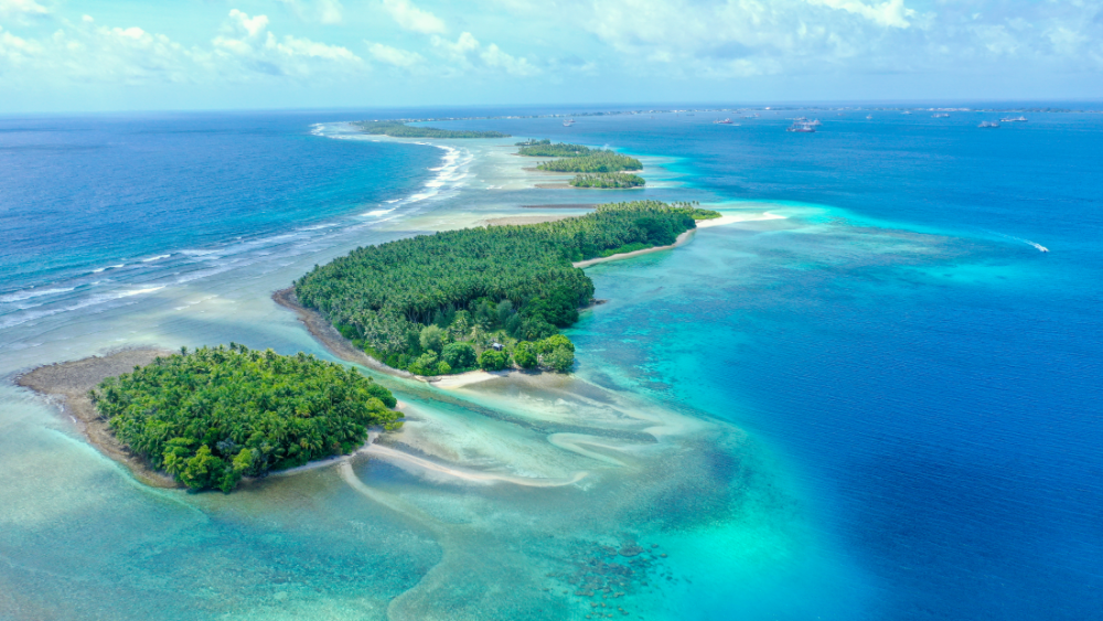
Sailors in the Marshall Islands used wave patterns to navigate.
Image credit: Romaine W / Shutterstock.com
It all came down to having time, lots of time, and was the outcome of successive generations of travelers, explorers, geographers, cartographers, mathematicians, historians, and other scholars piecing together disparate slivers of information. As such, these early products were based on some realistic measurements, but also a lot of speculation, which is how we landed ourselves with the flat earth theory.
The advent of satellites has enabled us to learn all about the plumpness of our planet, as well as finding our way across just about anywhere (seriously, Google Street View now goes to some strange places). However, even among societies that have long neglected their relationship with nature, humans still lean on traditional methods of getting around.
The word “cairn” comes from the Scottish Gaelic word meaning “heap of stones” and you may have spotted a few of them while hiking. That’s because they’re built to show hikers the way on particularly confusing routes, you can find them dotted throughout famous trails like the Camino de Santiago.
It’s for that reason that the US National Park Service has asked people not to build cairns just for fun, as they can lead people down the wrong path. And, after all, the practice of building cairns goes against a key principle of being out in the natural world: Leave no trace.
In one of Earth’s most extreme environments, humans have even used the dead as waymarkers. Dying on the top of Everest makes it likely you’ll stay there forever, which is why the Rainbow Valley has become the preferred resting place for those who don’t survive the climb to the roof of the world.
The study is published in Trends in Cognitive Sciences.
Source Link: Wave Patterns, Stars, And Birdsong: Humans Have Used Environmental Wayfinders For Thousands Of Years