If you cruise high above the US and peer down, you might catch a glimpse of giant barcode-like symbols embossed into a panel of tarmac. Rest assured, these are not QR codes for aliens to keep tabs on Earth, nor the long-lost relics of an ancient civilization.
The strange symbols were used in the 20th century to calibrate the lenses of aerial and satellite cameras. Most were made in the 1950s and ’60s when the Cold War was heating up and the US was bolstering its aerial reconnaissance technology.
Up close at ground level, you can see the symbols are generally made using thick black or white paint on a flat pad of concrete or asphalt. They’re typically smaller than a basketball court and often feature numerous bar-shaped lines in an organized fashion, which can be used by planes and satellites to calibrate the optical resolution of their imaging equipment.
“The targets function like an eye chart at the optometrist, where the smallest group of bars that can be resolved marks the limit of the resolution for the optical instrument that is being used,” according to the Center for Land Use Interpretation (CLUI). “For aerial photography, it provides a platform to test, calibrate, and focus aerial cameras traveling at different speeds and altitudes. The targets can also be used in the same way by satellites.”

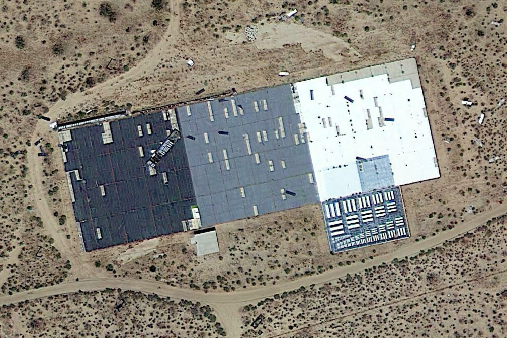
A target, which appears to be in the process of expansion, seen in California’s Edwards Air Force Base,
Image credit: GoogleEarth
The CLUI goes on to explain that the targets were likely used during the testing of some of the most formidable aircraft developed by the US in the Cold War era, including the SR-71 Blackbird and the U-2.
Today’s technology doesn’t require any such calibration targets, effectively rendering these massive barcodes redundant. Nevertheless, there are still dozens of them scattered across the US, most of which are located near airforce bases.
Examples of these mammoth features can purportedly be located near Eglin Air Force Base in Florida, the Nevada Test Site, Fort Huachuca in Arizona, Wright-Patterson Air Force Base in Ohio, Travis Air Force Base in California, Marine Corps Air Station Beaufort in South Carolina, and Shaw Air Force Base in South Carolina.

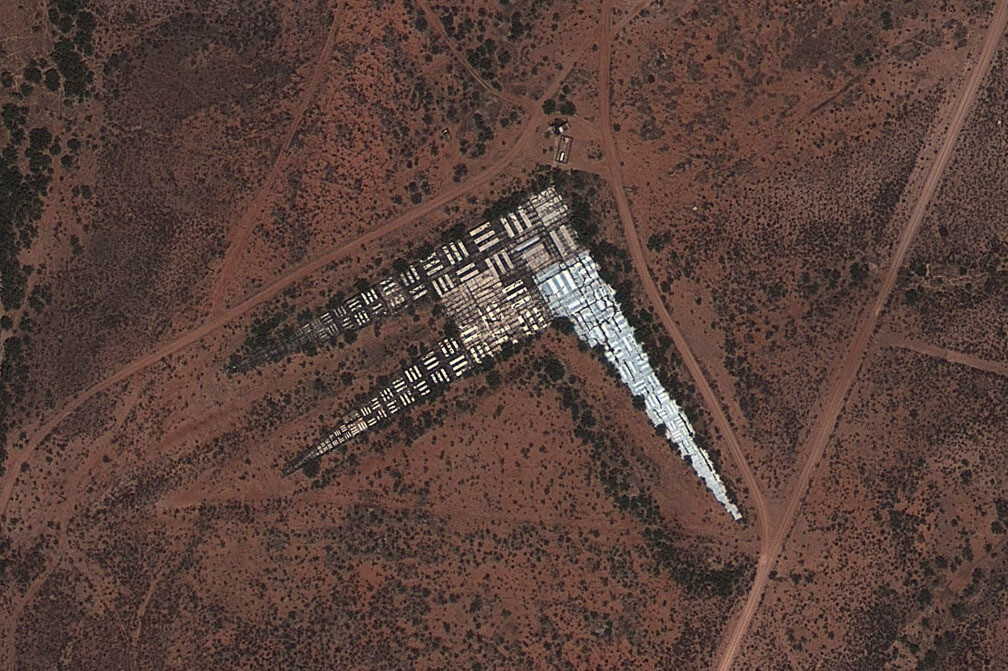
A variation of the class Optical Calibration Target at Fort Huachuca, Arizona.
Image credit: GoogleEarth
Similar features can be found elsewhere in the world. In 2011, internet sleuths were trawling through Google Maps and noticed several strange structures in the middle of the Chinese desert. Some were square in shape, while others featured huge zig-zags. One even consists of giant characters of the Chinese alphabet printed onto a hillside.
There was much discussion about the nature of the structures, but it was widely agreed that it most likely had something to do with China’s reconnaissance satellites.
Source Link: Weird Giant Barcodes Can Be Seen From The Skies Across The US