The effects of climate change are seen everywhere in the world, but the polar regions are experiencing changes unseen elsewhere. In Antarctica, glaciers melt and retreat and the most vulnerable of them all is the massive Thwaites Glacier. Now researchers have mapped the ground underneath the glacier for the first time, to see how it will evolve in the future.
Also known as the “doomsday” glacier, Thwaites extends into an ice shelf that goes into the ocean, with most of the ice shelf being under sea level, simply because it’s huge and heavy. The point where the glacier meets the seabed is called the grounding zone and it has retreated by 14 kilometers (about 9 miles) since the late 1990s due to melting. If the whole ice shelf melts, it would add about half a meter to sea levels over a few centuries. If the whole glacier were to melt, it would add several meters in the same time scale.
To understand how it might melt, researchers need to understand how it is moving, and crucial to that is what lies beneath. Researchers used a variety of methods to study the ground under Thwaites. They were expecting more rocks and instead found a lot of sediments.
“Sediments allow faster flow, like sliding on mud,” lead author Dr Tom Jordan, a geophysicist with the British Antarctic Survey (BAS), said in a statement. “Now we have a map of where the slippery sediments are, we can better predict how the glacier will behave in future as it retreats.”
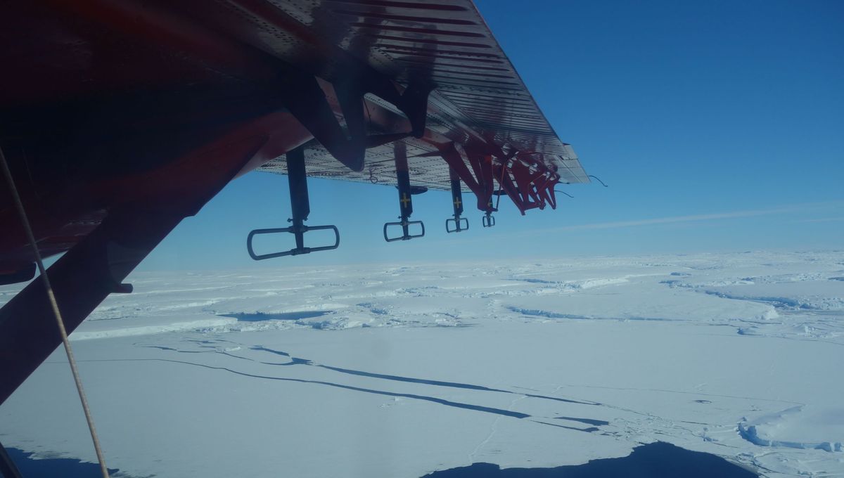
The work was conducted using an aircraft equipped with ice-penetrating radar, a device that can look through the hundreds to thousands of meters of ice to reach the rocks of the ground and seabed, as well as sensors sensitive to small variations in both gravity and magnetism from the rocks under the glacier.
“The integrated nature of the airborne surveys was one of the keys to this research. Each sensor on the aircraft provided an important but incomplete part of the picture, but by bringing them all together we could provide the detailed map of the underlying geology,” Jordan explained.
“The integrated approach used in this study has significant potential for successful application elsewhere in Antarctica, enabling us to explore other potentially vulnerable regions where current knowledge is sparse,” glaciologist Dr Sarah Thompson, a co-author on the paper, added.
The team has not worked out how to translate this new map into an ice flow and loss estimate yet, but they are working on it, hoping to deliver more accurate models of what will happen in the future.
“We hope that by showing the detailed geology, and how it correlates with the basal friction, future models of glacial retreat will have lower uncertainty, as the controls of the basal processes will be better understood,” Jordan added.
“No single scientific study could ever match the sheer scale and challenge of climate change. But it is the incremental building of all the individual scientific studies like this that allows us to understand and tackle that challenge.”
The research was published in the journal Science Advances.
Source Link: Ground Beneath Antarctica's Most Vulnerable Glacier Mapped For First Time